In Ghana, obtaining primary care can be a challenge, with many rural communities lacking access to health facilities and services. The Ghana Health Service (GHS) uses microplanning, a systematic process of planning health interventions by collecting and analyzing granular data within small geographic areas at the community level to improve equitable access to quality health services. By analyzing population distribution and health indicators along with available infrastructure information like roads and health facilities, service providers can tailor strategies to the unique needs of diverse populations—optimizing resource allocation and fostering an inclusive health care landscape that leaves no community behind. But what is more, by identifying and responding to health service quality and use gaps, the microplanning process facilitates community ownership of collectively designed interventions.
Microplanning has improved access to immunization services, insecticide-treated net distribution, mass drug administration, and seasonal malaria chemoprevention activities in Ghana for more than 20 years. However, this process has been paper-based, relying on hand-drawn maps that lacked precision in the location of communities, estimated distances, and illustration of geographical features or landmarks like mountains and valleys, which are critical details for effective planning.
Geo-digitalizing microplanning
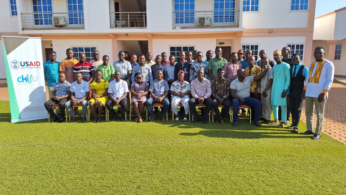
To address the challenges posed by using hand-drawn maps, USAID's Country Health Information Systems and Data Use (CHISU) program collaborated with multiple GHS departments and USAID implementing partners to strengthen the GHS’s digital microplanning capacity in November and December 2023.
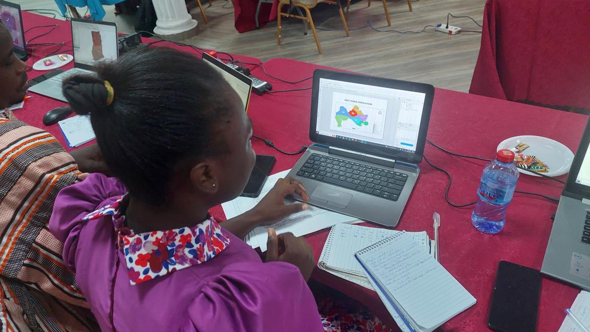
Seventy-one GHS staff members from across 12 districts learned about the concept of geo-enabled digital microplanning and how to leverage it for planning to better deliver health care to every community. The training included instruction on how to use geo-enabled tools, including open-sourced QGIS, Google Earth Pro, and GPS Waypoints software, using vaccination services as an entry point. Following the 10 microplanning steps outlined in the “Reach Every District Guidelines,” participants used hands-on practice sessions to enable them to generate their catchment area digital maps.
Results so far
The majority (98.1 percent) of participants reported that they acquired new skills during the five-day training, including:
- accurately determining the travel distance from various communities in the catchment area to the nearest health facility
- risk mapping of communities that estimates the catchment population using geospatial techniques
- drawing district and subdistrict digital maps showing available health facilities
- drawing spot maps for surveillance
- tracking the work of community-based volunteers by using the building footprint
With these new skills, GHS staff are able to create outreach points to underserved distant communities, increasing access to quality health services to the areas that most need it. CHISU and the GHS will continue to support the use of these microplanning skills and competencies through monitoring, supportive supervision, and learning from best practices. A joint technical team of trainers is carrying out supervisory visits to support the districts in making optimal use of the newly acquired skills and tools and ensuring the micro-plans result in tangible improvements in access to quality health services throughout Ghana.